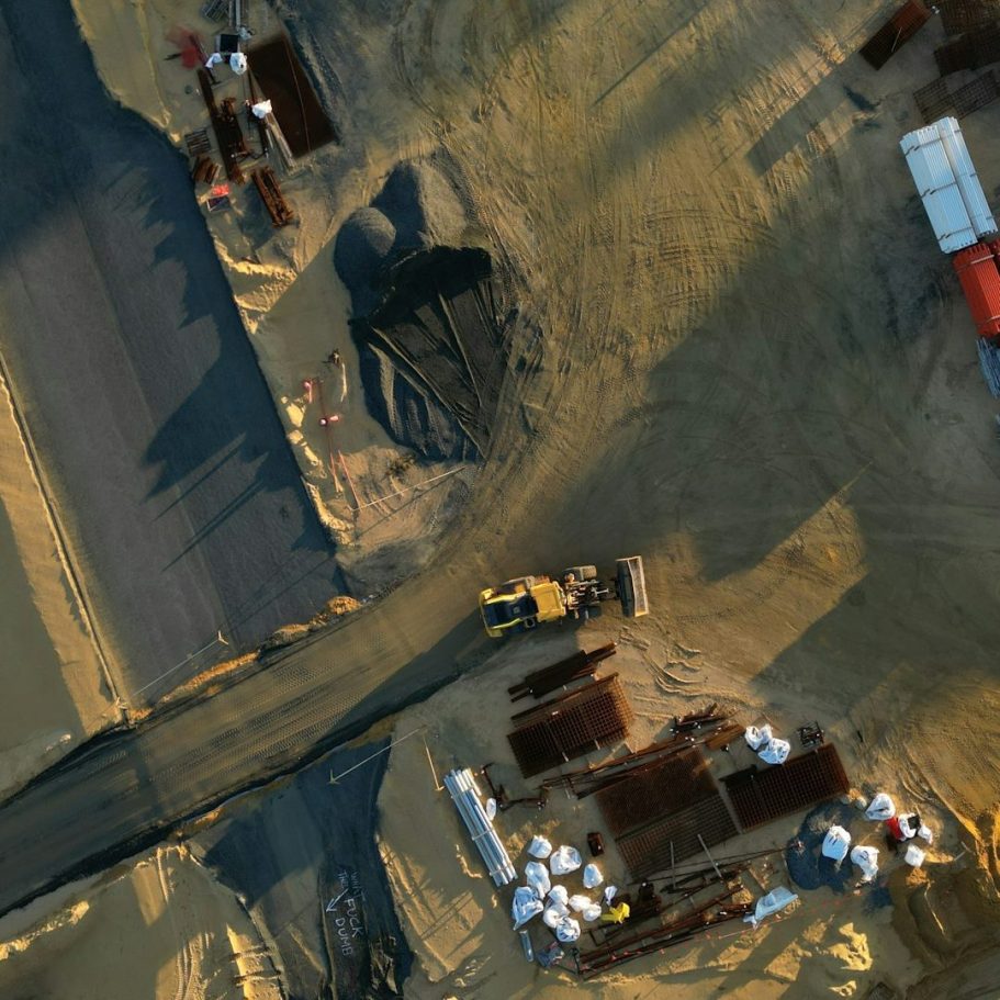
Innovative Aerial Photography and Mapping
Precision Drone Imaging Delivered
We utilise advanced drone technology for detailed surveys, accurate mapping, and stunning aerial photography. More than just images we aim to provide reliable, actionable data to meet client needs.
Providing Accurate Data and Stunning Visuals
Cutting-Edge Drone Technology at Work
At AFR Drone Solutions we bring the latest drone technology and software to capture high-resolution images and precise geospatial data, allowing businesses to enhance planning, monitoring, and decision-making with reliable aerial insights.
Why Choose AFR Drone Solutions
Offering Professional drone services combining safety, accuracy, and innovation. Our goal is to help clients identify and realise efficiencies where possible.
Advanced Drone Fleet
We can bring state-of-the-art drones equipped with high-resolution cameras and sensors for diverse commercial projects.
Certified & Qualified Pilots
CAA Certified and experienced pilots ensure safe, compliant, and efficient drone operations in all environments.
Comprehensive Services
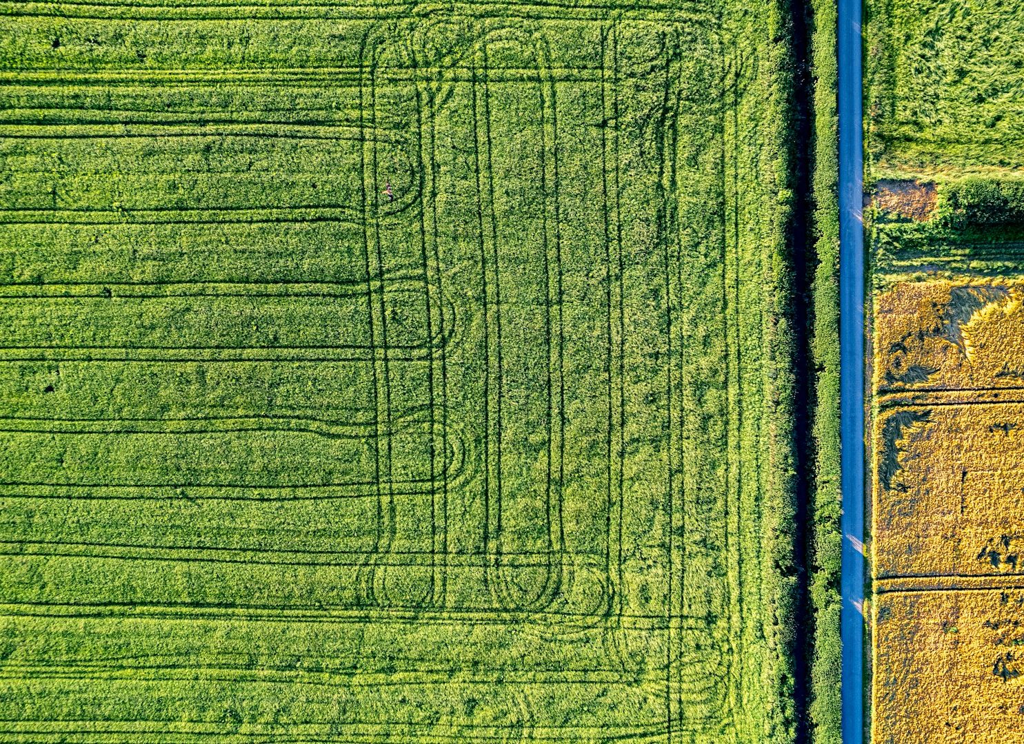
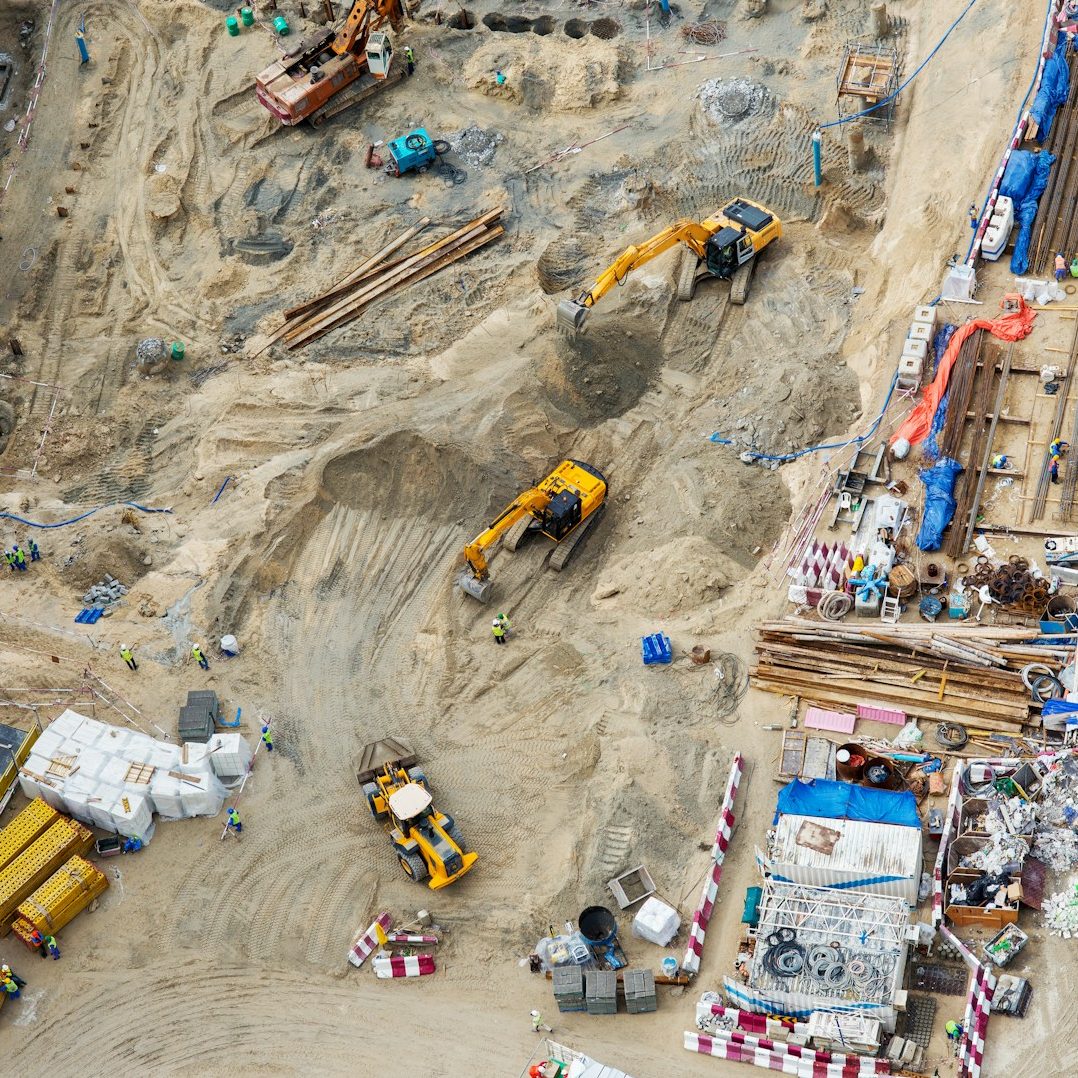
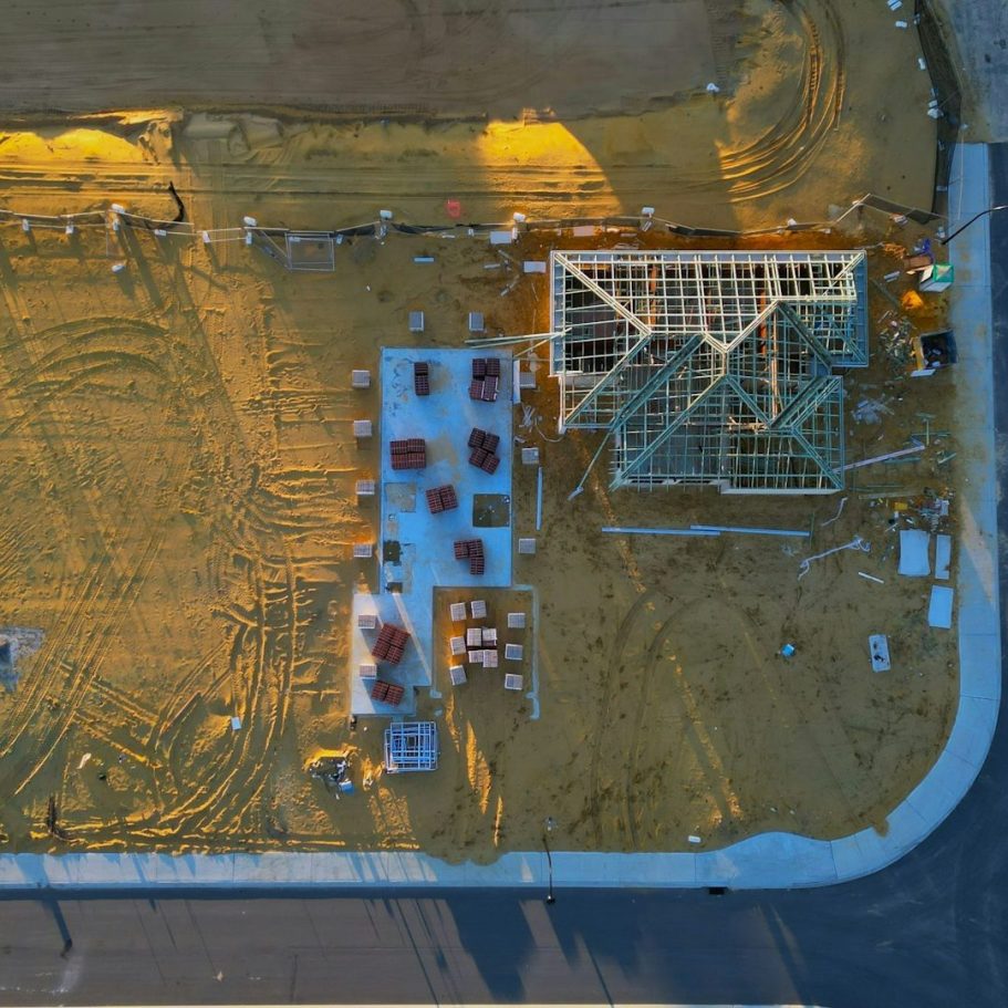
Offering aerial photography, 3D mapping, environmental surveys, and precision agricultural monitoring tailored to client needs.
Fast Data Delivery
Efficient processes and delivery of reliable data enabling timely insights to accelerate project timelines.
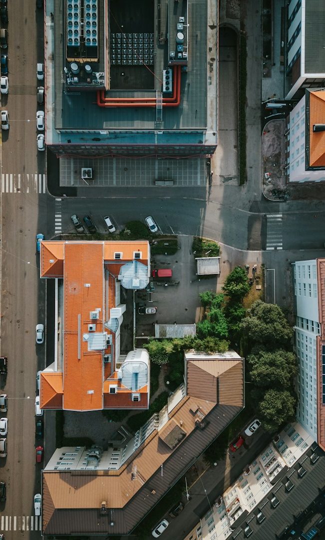
Building Condition Surveys carried out safely providing detailed inspections without disruptions

2D & 3D Ariel Mapping providing accurate data for analysis, planning & reporting
Ariel Photography providing high resolution images and footage for marketing or documenting.